Published in the High Desert Advocate 7/05/18
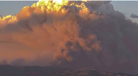
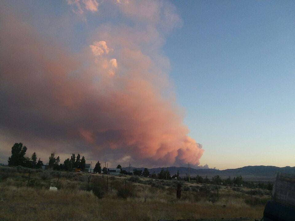
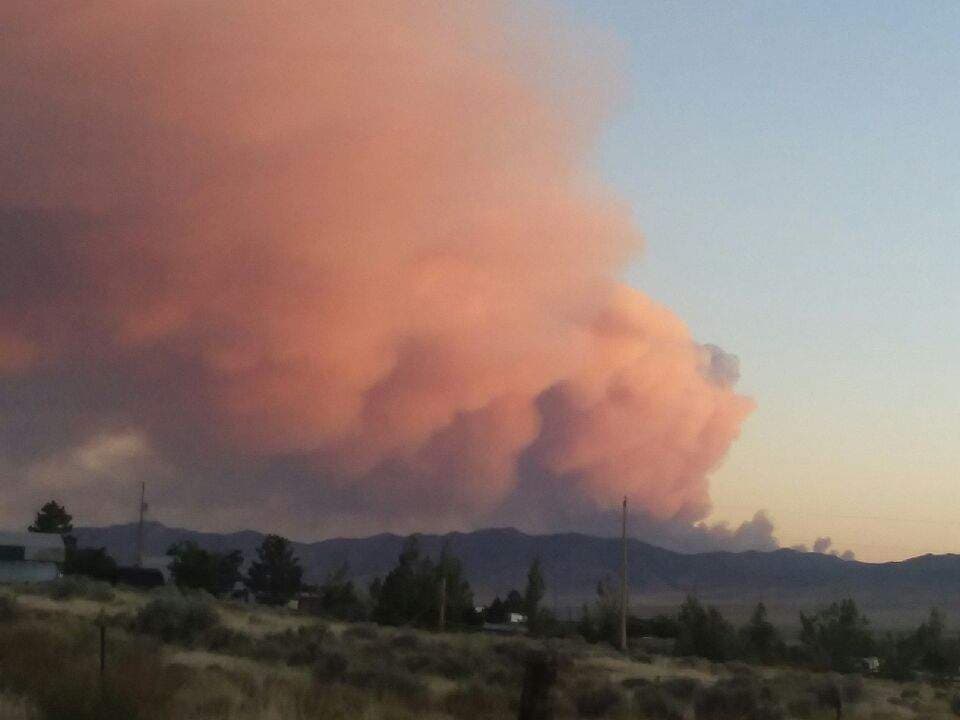
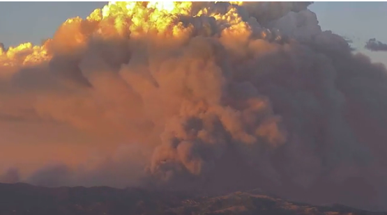
The Hogan Fire (name after the Hogan tunnels near by, also called Pequop Fire), about 25 miles west of Wendover threaten structures. The Hogan fire is now 6,701 acres and remains at 5 percent containment. There are now 261 personnel from Federal, State, County and Local, and private resources on the line. The Hogan fire is now exhibiting moderate behavior with uphill Runs, isolated torching and backing. The fire is burning both inside and outside of the South Pequop WSA. All suppression efforts have been approved within the WSA except for the use of dozers. Much of the fire area is located in roadless areas and is very inaccessible. The west flank of the fire is in steep and rugged terrain hampering suppression efforts. With the steep rugged terrain and high temps, firefighter safety is paramount. Personnel will continue air operations with direct support of crews, dozers, and engines. Utilize dozers and engines in the more accessible country outside the WSA, and utilize hand crews in the WSA. Secure and hold existing line.
Fire officials reported “extreme fire behavior with running and group torching” in timber, brush and short grass.
That fire grew from 250 acres Sunday to 1,200 or 1,300 acres last Monday, July 2nd, to 6,701 Acres by Wednesday, July 4th.The wind-driven Hogan fire was in steep, rocky terrain in the south Pequop range. It was 5% contained on Wednesday.
Smokejumpers, single-engine air tankers and heavy air tankers joined engines in fighting the blaze, which was running into pinyon and juniper.
The Pequop Fire tops 1,200 acres and expands and threatens structures
Skies around Wendover, Wells and Elko were smoky last Tuesday(July 3rd) as a fire burned out of control in the Pequop range and numerous large fires raged in Utah and California.
A wildland fire that started Sunday at the southern tip of the Pequop range has burned more than 6,000 acres and is only 5 percent contained.
Elko Interagency Dispatch reported that it was mapped at approximately 6,700 acres and “exhibited significant smoke plumes well after sunset” on Monday.
The Fire about 14 miles north of Wells burned more than 5,000 acres. The HD Fire was threatening residences and sage grouse habitat.
The fire’s behavior was described Tuesday as “minimal” with isolated torching, creeping and smoldering. It was listed at 50 percent contained.
The Associated Press reported that a growing wildfire destroyed more than 100 homes in the mountains near Fort Garland, Colorado.
Nearly 60 large, active blazes are burning across the West, including nine in New Mexico and six each in Utah and California, according to the National Interagency Fire Center.
In Utah, authorities have evacuated 200 to 300 homes because of a growing wildfire near a popular fishing reservoir southeast of Salt Lake City amid hot temperatures and high winds. Several structures have been lost since the fire started Sunday.
Last Monday, July 2nd, wildland fire activity has picked up throughout the western states. The National Interagency Fire Center was reporting last Monday that 53 fires have burned more than 648,000 acres.
Twelve engines and two helicopters were fighting the fire east of U.S. Highway 93 about 14 miles north of Wells. The HD Fire burned “very actively this afternoon, leaving a lot of unchecked line going into the evening in steep and rough terrain,” northeastern Nevada wildland fire officials reported Sunday night.
A fire two miles south of Carlin burned 1,525 acres before it was fully controlled by Friday, June 29th.
Eastern Elko County and all of White Pine County were under a red flag warning Monday/Tuesday due to gusty winds, low humidity and the chance of dry thunderstorms.
To report a wildland fire call 911 or 775-748-4000.

